AllTrails Pro
Offline trail maps for when signal disappears a quarter mile from the trailhead.
Start AllTrails ProCancel anytime.
The signal problem
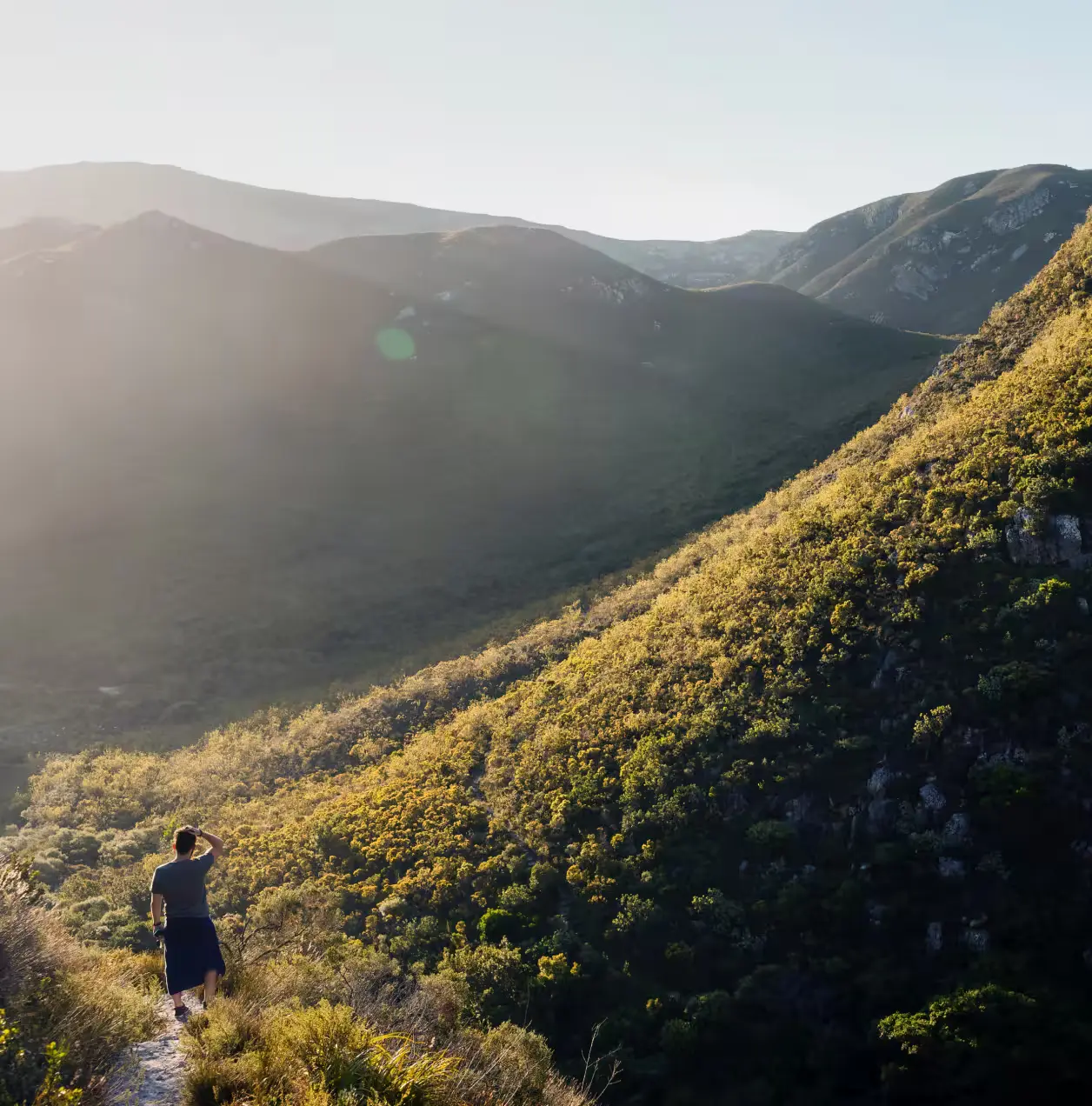
AllTrails free shows trail information, photos, and reviews without any cost — and that is genuinely useful for pre-trip research. The problem appears at the trailhead. Cell coverage disappears at Tallulah Gorge once you descend the first switchbacks. It drops on Alum Cave Trail in the Smokies before the two-mile mark. At Ichetucknee Springs, the spring run trail can disorient hikers in early morning fog without GPS tracking. The free app becomes a static screenshot exactly when you need it to be a navigation tool.
What we considered instead
Gaia GPS is the competitor most experienced hikers name first — it has better topographic detail and is genuinely superior for off-trail and backcountry travel. For day hiking on established trails, AllTrails Pro wins on the size and quality of its user review base: 400,000+ trails with photos and notes from people who hiked them recently, not just the route line. The NPS app is free and covers national parks well when pre-downloaded, but it covers one park at a time and has no user-generated trail content. Paper maps from the ranger station are a reliable backup but require you to orient by landmark, which is harder than it sounds on trails without clear signage.
What Pro adds over the free version
- Offline maps — download the full trail before you leave signal, navigate with GPS alone
- Turn-by-turn navigation — audio cues at junctions so you're not stopping to stare at your phone every half mile
- Elevation profiles with live position — see how much climb remains, not just total gain
- Lifeline — share your real-time location with a contact who can check if you've stopped moving
Who this is for
AllTrails Pro is for hikers planning any trail in a national park, state forest, or wilderness area with unreliable signal — which describes most worthwhile hikes in the US. It is especially useful for first-time visitors to a trail who cannot rely on memorized landmarks, and for solo hikers where a wrong turn at a fork costs more than time. At $36/year it is cheaper per hike than a park entrance fee and more immediately useful than most gear purchases under $50.
Where to use it on your trip
Download the Tallulah Gorge rim and gorge floor trails before you reach the permit booth in Tallulah Falls, Georgia — signal is unreliable in the canyon and the gorge floor suspension bridge section requires accurate navigation at the junctions. At Alum Cave Trail in Great Smoky Mountains National Park, Tennessee, signal drops by the two-mile mark; download the full 4.4-mile route to Mount LeConte before leaving the trailhead parking lot. At Ichetucknee Springs State Park in Florida, the spring run loop appears simple on paper but disorients hikers in the early morning when fog sits on the water and the trail markers are spaced far apart.
Who should skip it
Skip AllTrails Pro if your hiking is primarily urban greenway and multi-use path near cities with strong signal — a free screenshot of the route covers that use case adequately. Also skip it if you are doing serious backcountry or off-trail travel, where Gaia GPS's topographic detail is worth the higher price and the broader feature set.
Our take
Buy AllTrails Pro before any trip that includes a trail in a national park, state forest, or any location where cell service is genuinely absent. The offline map alone justifies $36/year if you hike more than twice in places without reliable signal. Skip it if all your hiking is well-signed, heavily trafficked, and fully covered by your carrier.
Ready to get it?
Cancel anytime.
Start AllTrails ProDestination guides
Specific advice for where you're actually going.